Beaufort Sea
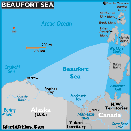
The Beaufort Sea is a part of the Arctic Ocean, lies north of the Northwest Territories, the Yukon, and Alaska and west of Canada's Arctic islands. Its northwestern part is bordered by a line connecting Point Barrow, Alaska, and Lands End, Prince Patrick Island.
The sea covers about 450,000 km (170,000 mi) in area.

Naming: The name of the Sea is come from the Irish hydrographer Sir Francis Beaufort.
Resources: The Beaufort Sea is rich petroleum reserves beneath the seabed, a continuation of proven reserves in the nearby Mackenzie River and North Slope. The large Mackenzie River and many small rivers flow into the sea.
Climate
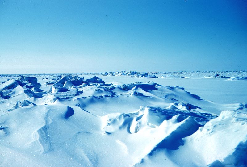
The entire Beaufort Sea is totally frozen during much of the year-round. It is covered by permanent ice-pack in the northern edge. In the month of August and September the ice break up. Temperature ranging from 29.5 F (-1.4 C) in summer to 28.8 F (-1.8 C) in winter. Sea water is separated into four layers. Surface water is the top 100m (330ft); temperature in summer is -1.4 C (29.5 F) and in winter is -1.8 C (28.8 F). The second layer is formed by the inflows from Pacific Ocean and Bering Sea through the Bering Strait. The third layer is deep Atlantic layer and its temperature ranges from 0 and 1 C (32 to 34 F). The final layer is Bit colder ranges from -0.4 to -0.8 C (31.3 to 30.6 F).
Ecology
The Sea is the main home for whales and sea birds and is still not used by commercial traffic. The Beaufort Sea is the southern end limit for the Polar bear in North America. Beaufort Sea contains more than 70 species of phytoplankton and nearly 80 species of zooplankton. Bottom of fauna consists of 700 species of polychaetes, bryozoans, crustaceans, and mollusks.

 Deep Sea Crabs